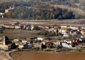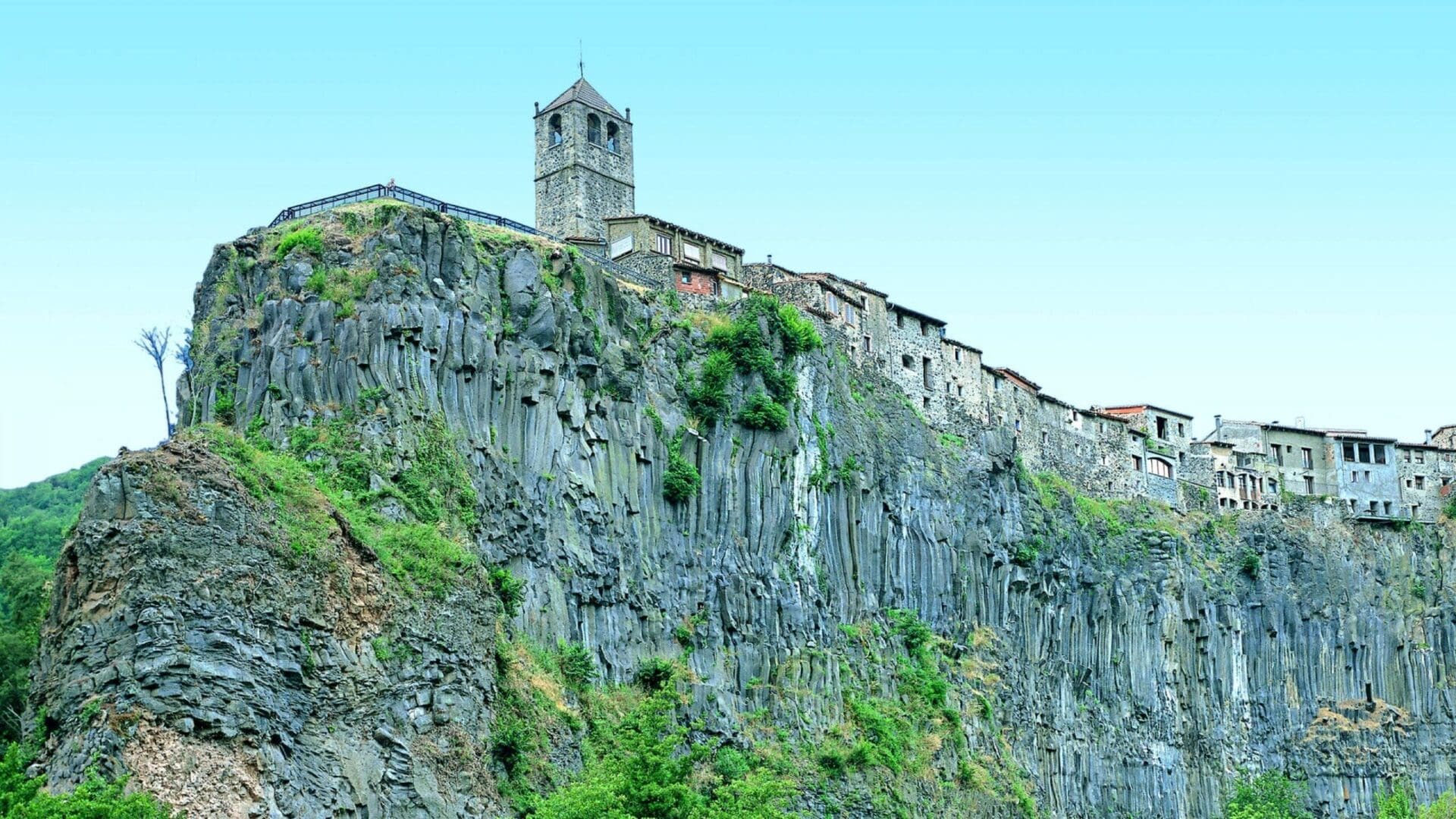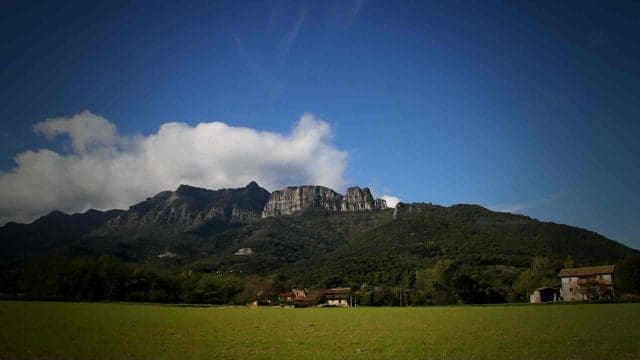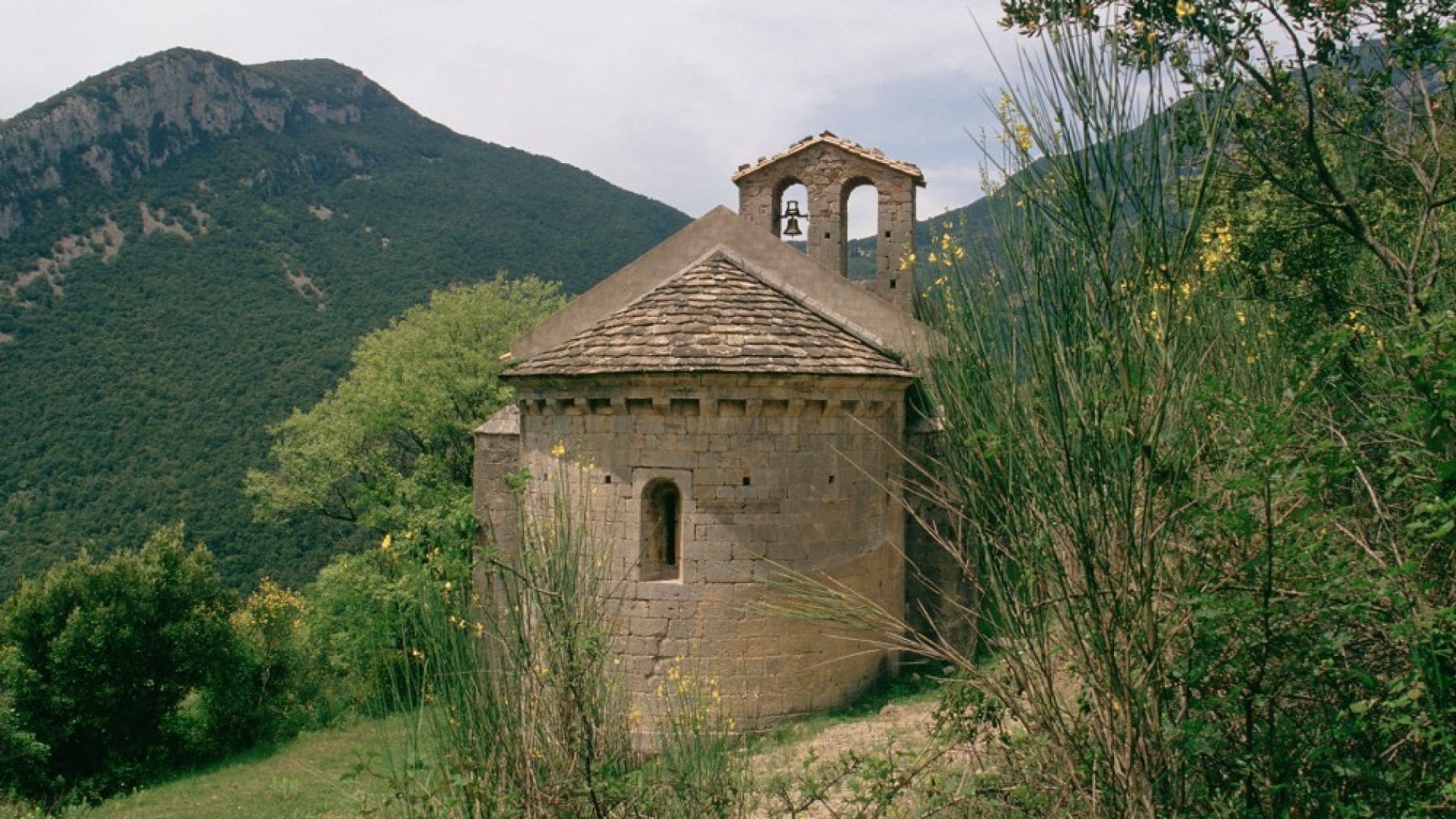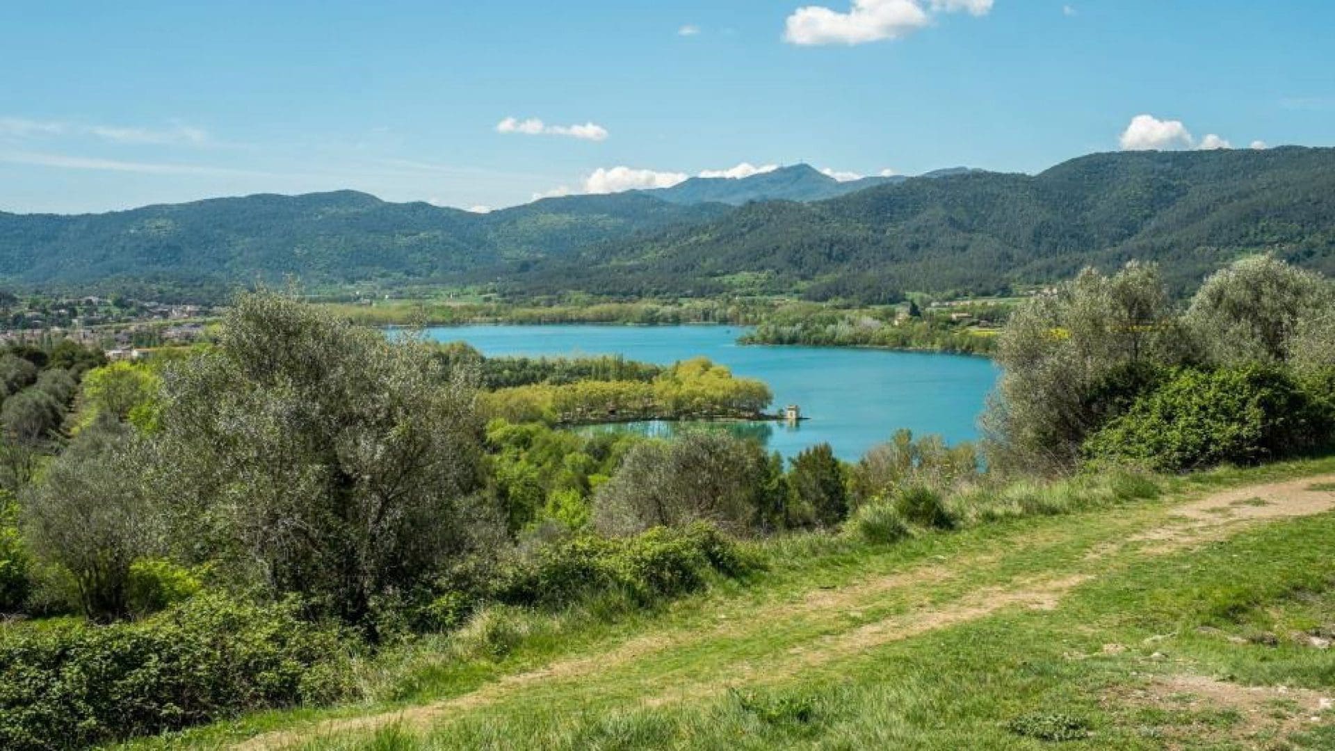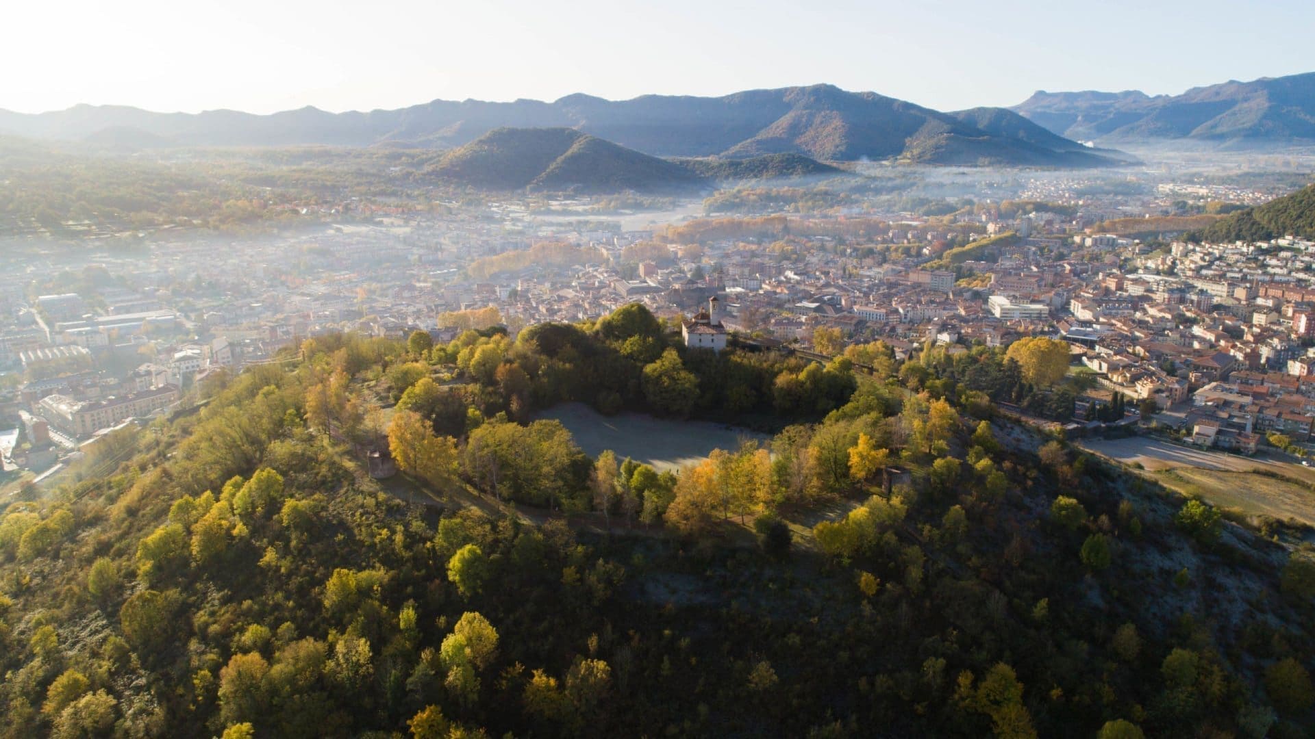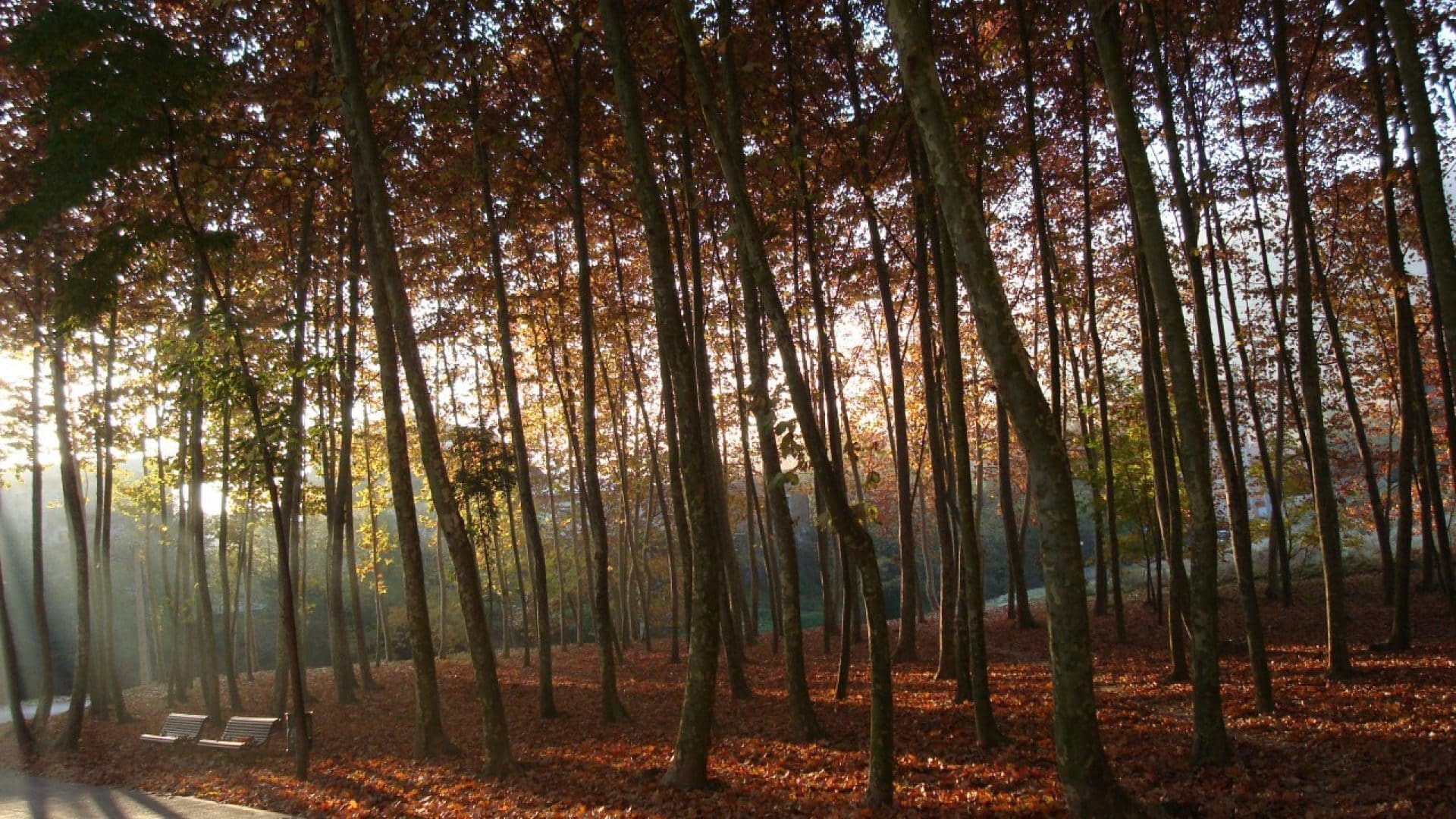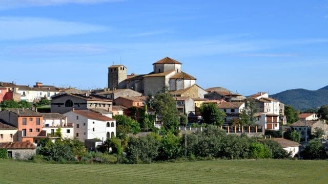
La Garrotxa, a unique geographic and cultural mosaic with an area of 735 km², is located at the eastern end of the Pyrenees. With an average altitude lower than other mountainous regions (most of its surface is below 600 m in height), La Garrotxa surprises with its transitional landscape between mountain and plain and its unique volcanic area within the Garrotxa Volcanic Zone Natural Park. The Fluvià river provides its characteristic territorial division. On one hand, the rugged Alta Garrotxa, and on the other, the tranquil plain of Olot.
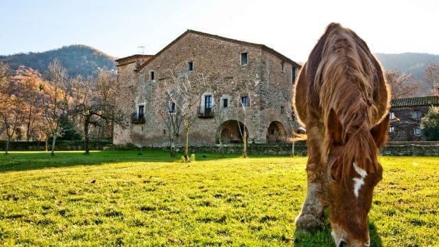
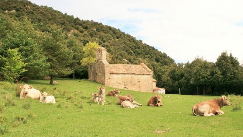
This diversity of terrains creates a landscape rich in biodiversity and natural beauty that extends across four main valleys: to the east, the Fluvià valley opening towards Empordà; to the west, the Bianya valley; to the southwest, the d’en Bas valley and finally to the south, the d’Hostoles valley.
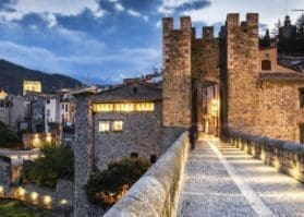
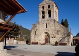
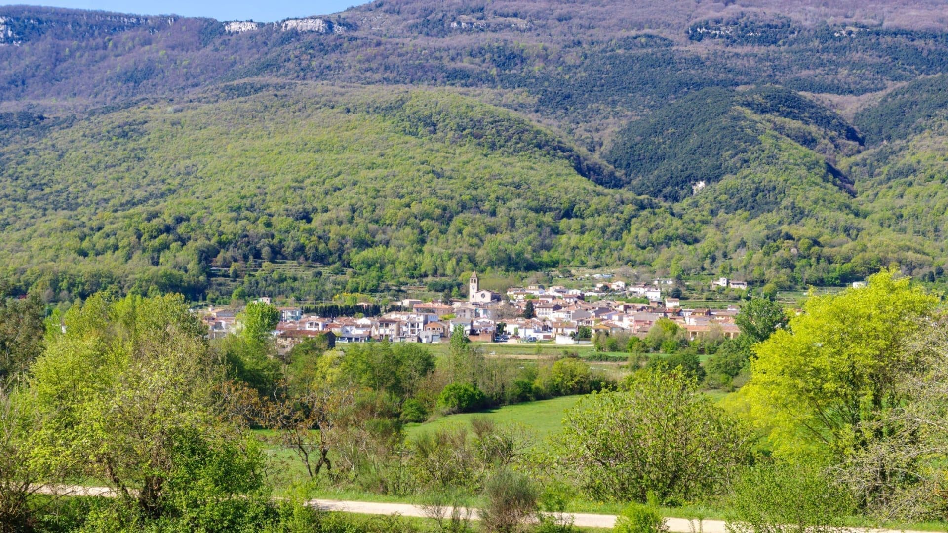
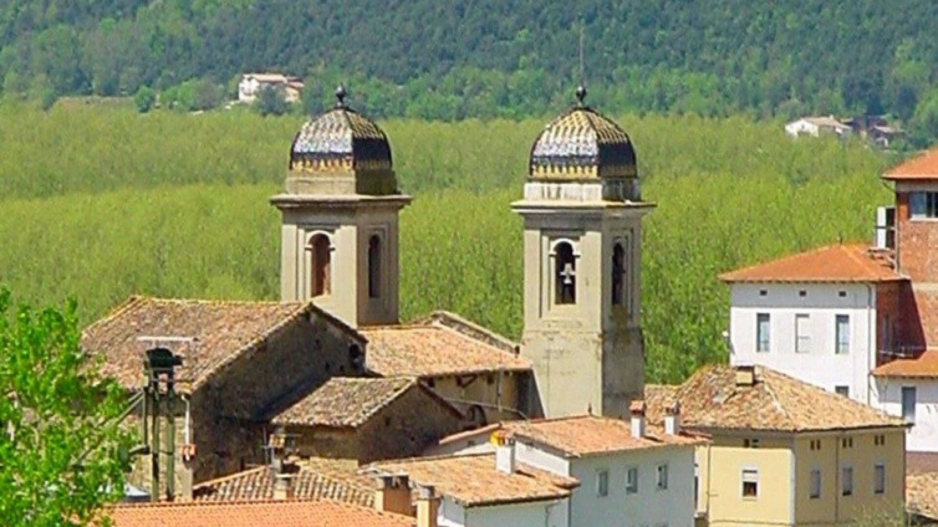
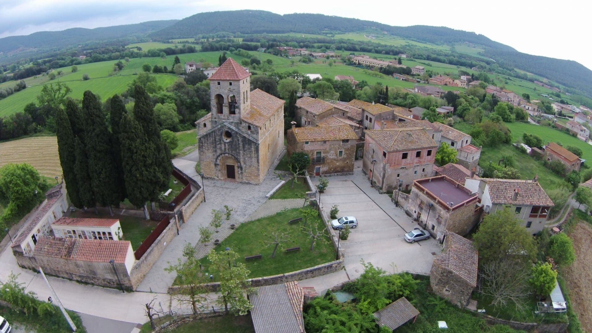
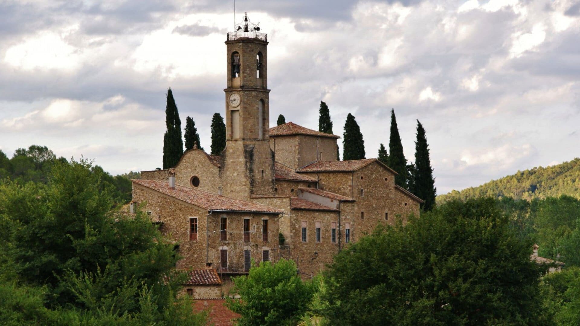
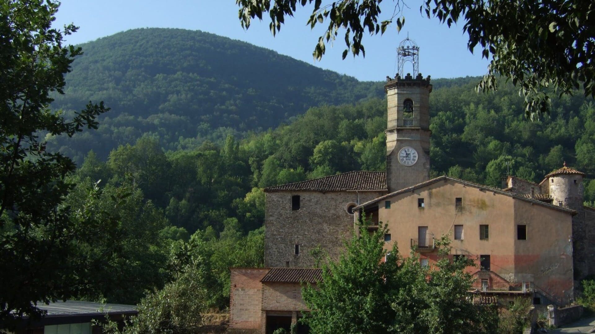
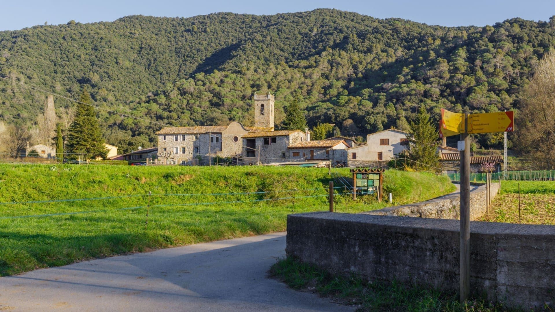
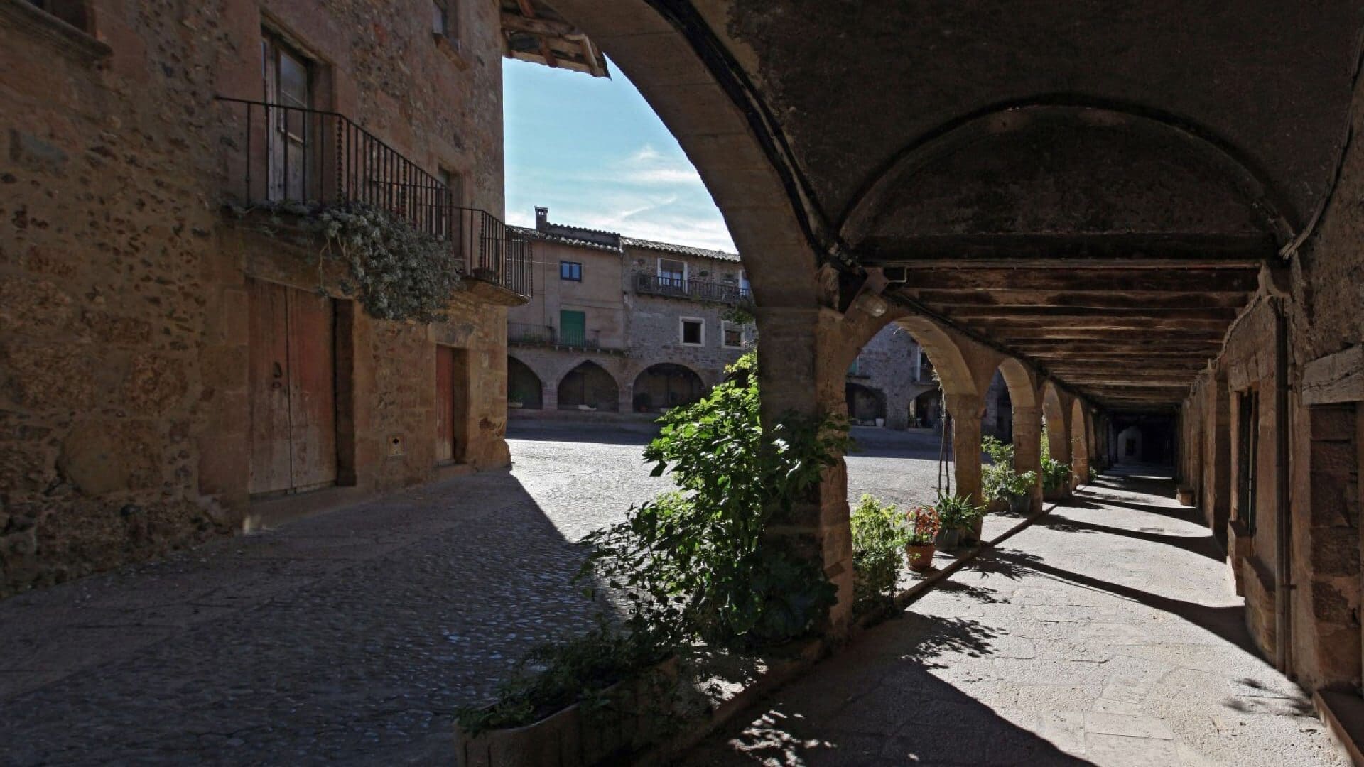
Our region is distinguished by a great diversity of landscapes and by 21 municipalities with their own identity: Argelaguer, Besalú, Beuda, Castellfollit de la Roca, Olot, les Planes d’Hostoles, les Preses, Maià de Montcal, Mieres, Montagut i Oix, Riudaura, Sales de Llierca, Sant Aniol de Finestres, Sant Feliu de Pallerols, Sant Ferriol, Sant Jaume de Llierca, Sant Joan les Fonts, Santa Pau, Tortellà, la Vall de Bianya, and la Vall d’en Bas.
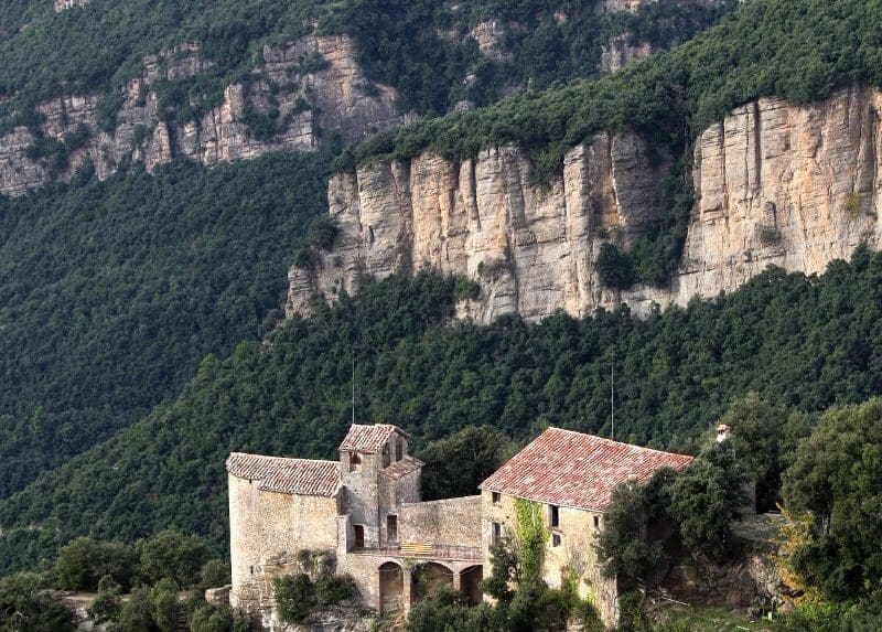
In this way, each municipality, from the high cliffs to the green valleys, offers a unique and yet integrative and regional experience.


© Turisme Garrotxa