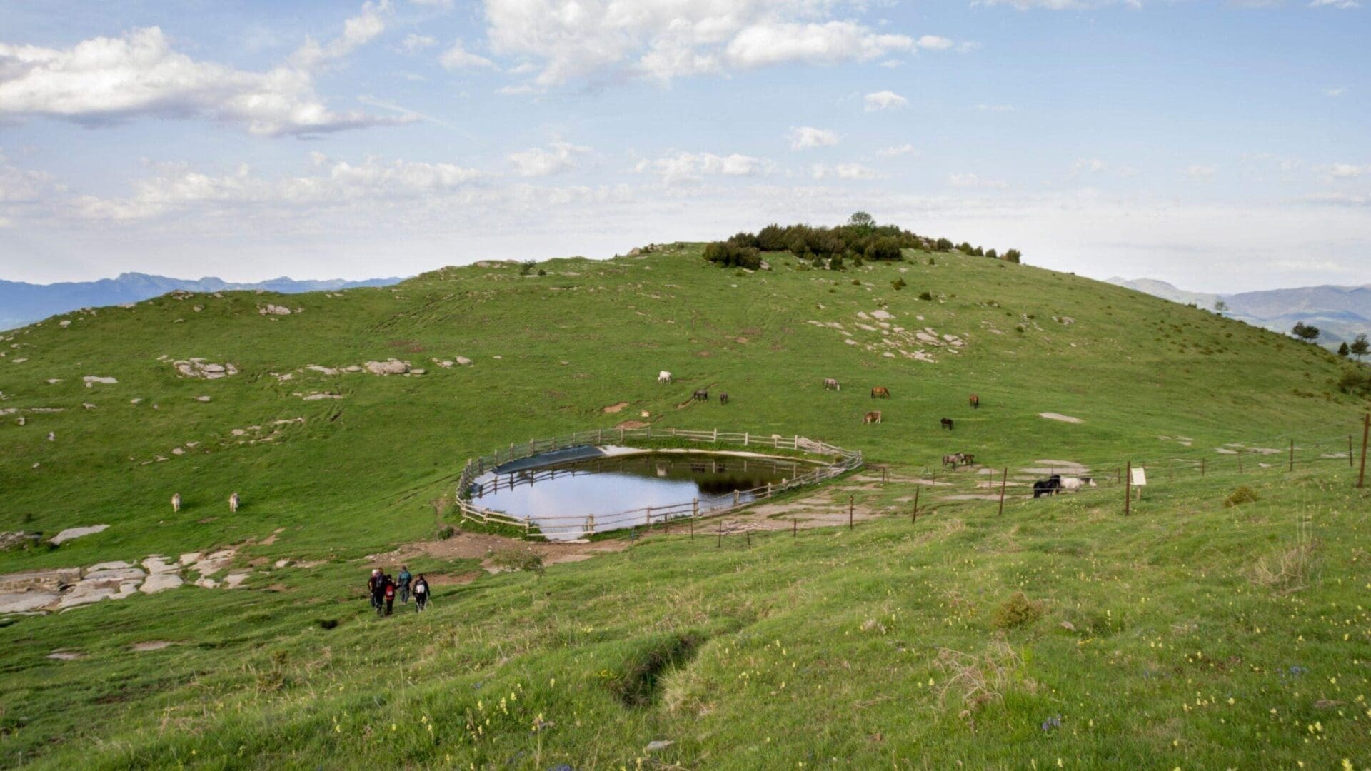
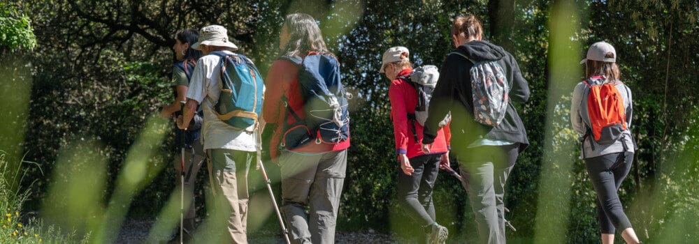
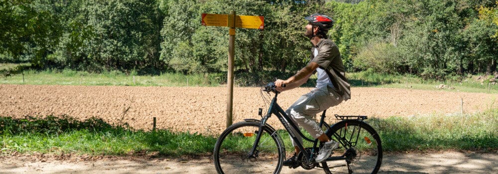
This route will take us around the Monars pond, a cattle trough located between the Comanegra and the Pic de les Bruixes, at the northern end of the Alta Garrotxa.
Check the information of this route in itinerannia.net
Do you need or prefer to be accompanied by a guide? Check the list of environmental and cultural guide companies.


© Turisme Garrotxa